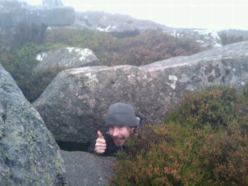

But wait, this post is not really about my boots. It is really about my latest training hike. 15 miles and 3700ft total elevation was more than I’d expected to do but I discovered two things today. a) that I like my own company (I knew that already) and b) that sometimes when a person starts walking solo it’s really difficult to stop!
I started from the Bennachie Centre near Chapel of Garioch and hiked up the steep ascent to Mither Tap. From there I walked across to Craigshannoch and on to Oxen Craig. I accidentally took the wrone path and missed Little Oxen Craig but didn’t think it was worth worrying about this time. From there I headed down to the same mysterious peak that Will and I got lost on last time and instead of doubling back, I headed straight over and joined the Gordon Way. This is where my adventure really started. I learnt a further two things about myself. c) I am not Bear Grylls when it comes to common sense navigation and d) I should know better!
Not wanting to descend too much down the wrong side of Bennachie, I eventually followed a path which seemed to go back in the direction I came from. I took this wide and fairly well trampled path in the hope that I would sweep down along the line of trees and rejoin the Gordon Way in the correct direction later. Instead it stopped dead! So I checked my compass to take bearing of which direction I was supposed to be heading and dropped down into the trees with the fairly assured assumption that most forests seem to have a gap running down and a network of fire roads that I would soon be able to pick up and head towards my destination.
And so I found myself sheepishly trampling through the heather back up the side of the mountain, out of the trees and into a blizzard of sleet! My detour into the forest had only given me a labyrinth of mossy, boggy routes to dead ends and so I had decided to cut my losses and follow the fence back towards the style which I know crossed the Gordon Way.
After 5 hours of walking I was back at the car park to pick up my 3pm lift… which wasn’t there. So I decided to walk along the road and meet in en-route. An hour later, my weary legs finally stepped into a warm car. A good training day but a few more needed before I’ll be able to do even two in a row, let alone two weeks.
Charlie
Total Distance: 24.40 km (15.2 mi)
Total Time: 5:57:13
Moving Time: 4:33:18
Average Speed: 4.10 km/h (2.5 mi/h)
Average Moving Speed: 5.36 km/h (3.3 mi/h)
Max Speed: 14.51 km/h (9.0 mi/h)
Min Elevation: 168 m (551 ft)
Max Elevation: 584 m (1916 ft)
Elevation Gain: 1132 m (3713 ft)
Max Grade: 0 %
Min Grade: 0 %
Recorded: Sun Oct 24 09:49:58 GMT+01:00 2010
Activity type: walking
View Bennachie Hike in a larger map